Stamford Hill Area Guide

Map of the N16 Postcode District
The N16 postcode district is a postal district with a population of 68,567 and is within the N postcode area.
The area of the N16 postcode district is 1.79 square miles which is 4.63 square kilometres or 1,143.84 acres.
Currently the N16 district has 1125 postcode units.
There are 6 postcode sectors within the N16 district.
The sector has postcodes within the nation of England.
The N16 Postcode District is covers the following regions.
Hackney and Newham - Inner London - East - London
Haringey and Islington - Inner London - East - London
Town/Area
Stamford Hill, London
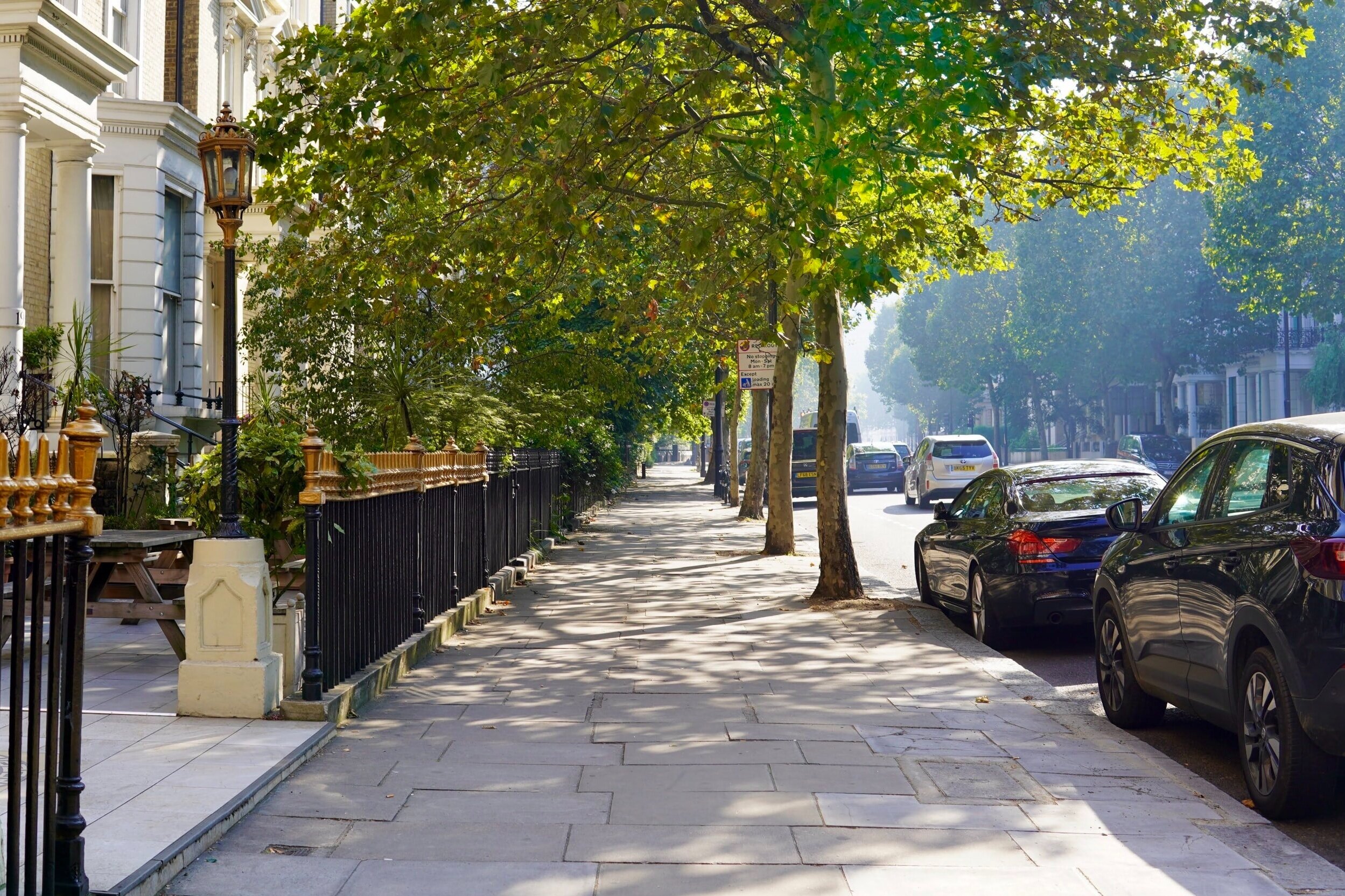
Stamford Hill is an area in Inner London, England, located about 5.5 miles north-east of Charing Cross. The neighbourhood is a sub-district of Hackney, the major component of the London Borough of Hackney. Larger homes and yards characterize this area and unlike other parts of London, the houses haven’t been broken up into apartments. The market is somewhat crowded, but the area is developing rapidly so there are smaller, newer homes on the market. A lot of the local businesses are connected to the hasidic community, including the famous Grodzinski bakery in Clapton Common.

Amenities
Stamford Hill has a wonderful sense of community – locals report feeling very safe there. It's a special place to set up home and a good area for those looking to invest in buy-to-let property.
Stamford Hill is the heartland of London's orthodox Jewish community. Of course much of N16's success is down to the remarkably strong presence of independent business in the area, making it a truly distinctive part of the capital.

Local Transport Links
Stoke Newington Railway Station - within a mile
Rectory Road Railway Station - within a mile
Stamford Hill Railway Station - within a mile
Clapton Railway Station - within a mile
Manor House Underground Station - within a mile
Dalston Kingsland Railway Station - 1 mile S
Hackney Downs Railway Station - 1 mile SE
Canonbury Railway Station - 1 mile SW
South Tottenham Railway Station - 1 mile N
Finsbury Park Station (Railway Station) - 1 mile W
Finsbury Park Underground Station - 1 mile W
Arsenal Underground Station - 1 mile W
Seven Sisters Station (Railway Station) - 1 mile N
Harringay Green Lanes Railway Station - 1 mile NW
Hackney Central Railway Station - 1 mile SE
Drayton Park Railway Station - 1 mile SW
Seven Sisters Underground Station - 1 mile N
Harringay Railway Station - 2 miles NW
Highbury & Islington Underground Station - 2 miles SW
Highbury & Islington Station (Railway Station) - 2 miles SW
Holloway Road Underground Station - 2 miles SW
London Fields Railway Station - 2 miles SE
Essex Road Railway Station - 2 miles SW
Homerton Railway Station - 2 miles SE
Crouch Hill Railway Station - 2 miles W

Nearby Points of Interest
St Thomas Church - within a mile
Springfield Park - within a mile
Arsenal Stadium - 1 mile W
Emirates Stadium - 1 mile W
Clapton Park - 2 miles SE
Tottenham Hotspur FC (Stadium) - 3 miles N
St Giles-without-Cripplegate (Church) - 3 miles S
St Botolph-without-Bishopsgate (Church) - 3 miles S
St Alphage London Wall (Ruin) - 3 miles S
St Bartholomew-the-Great (Church) - 3 miles S
All Hallows-on-the-Wall (Church) - 3 miles S
St Bartholomew-the-Less (Church) - 3 miles S
St Alban (Tower) - 3 miles S
Dutch Church, Austin Friars - 3 miles S
St Botolph's Aldersgate (Church) - 3 miles S
Postman's Park - 3 miles S
St Anne and St Agnes (Church) - 3 miles S
City Temple (Church) - 3 miles S
Christ Church Greyfriars (Ruin) - 3 miles S
St Andrew Undershaft (Church) - 3 miles S
Elim Pentecostal Church - 3 miles E
St Andrew, Holborn (Church) - 3 miles S
Leytonstone United Free Church - 3 miles E
Bow (Castle) - 3 miles SE
St Paul's Cathedral (Church) - 4 miles S

Nursery Schools
Stamford Hill, London
Bnei Zion Community School
Children's Centre at Tyssen
Lubavitch Childrens Centre
The Triangle Centre
Woodberry Down Children's Centre

Primary Schools
Stamford Hill, London
Beis Aharon School
Beis Malka Girls' School
Beis Rochel d'Satmar Girls' School
Beis Rochel D'Satmar School
Beis Yaakov Girls School
Bnos Zion of Bobov
Holmleigh Primary School
Lubavitch Girls Primary School
Lubavitch Junior Boys
Ohr Emes
Simon Marks Jewish Primary School
Sir Thomas Abney School
Springfield Community Primary School
St Ignatius RC Primary School
T T T Y Y School
Talmud Torah Bobov Primary School
Talmud Torah Chaim Meirim Wiznitz School
Talmud Torah Machzikei Hadass School
Tawhid Boys School, Tawhid Educational Trust
The Olive School Hackney
TTD Gur School
Tyssen Community Primary School
Vishnitz Girls School
Wiznitz Cheder School
Yesodey Hatorah School
Yesody Hatorah Girls School

Secondary Schools
Stamford Hill, London
Beis Chinuch Lebonos Girls School
Beis Malka Girls' School
Beis Rochel d'Satmar Girls' School
Bnois Jerusalem Girls School
Gladesmore Community School
Lubavitch House School (Senior Girls)
Our Lady's Catholic High School
Skinners' Academy
Talmud Torah Machzikei Hadass School
Tawhid Boys School, Tawhid Educational Trust
Tayyibah Girls' School
Yesodey Hatorah School
Yesodey Hatorah Senior Girls School

Sixth Forms & Colleges
Stamford Hill, London
Lubavitch House School (Senior Girls)
Our Lady's Catholic High School
Skinners' Academy
Tayyibah Girls' School

Closest Airports
London City Airport - 7 miles SE
Northolt - 15 miles W
Biggin Hill - 17 miles S
London Heathrow Terminal 1 - 17 miles W
London Heathrow Terminal 2 - 17 miles W
London Heathrow Terminal 4 - 17 miles SW
London Heathrow Airport - 18 miles W
London Heathrow Terminal 3 - 18 miles W
London Heathrow Terminal 5 - 19 miles W
Luton Airport - 25 miles NW

Hotels Near N19
Gibson Garden Apartment London - within a mile
Rose and Crown - within a mile
Three Bedroom Apartment in Stoke Newington - within a mile
Kadimah Hotel - within a mile
London Holloway Apartment - within a mile
Divine Delights - within a mile
Global Lodge - within a mile
Arsenal Tavern Backpackers - within a mile
River Lane - within a mile
Best Western London Highbury - 1 mile W
Beresford Road London Rooms - 1 mile SW
Finsbury Park Homes - 1 mile W
Gloucester Hotel - 1 mile W
Queens Drive Hotel - 1 mile W
Central Park Hotel - 1 mile W

Closest Hospitals
Barnet Enfield Haringey NHS Trust - 1 mile NW
Homerton Hospital - 2 miles SE
Moorfields Eye Hospital - 3 miles S
Whittington Hospital - 3 miles W
Royal National Throat Nose & Ear Hospital The - 3 miles SW
Eastman Dental Hospital & Institute - 3 miles SW
Royal London Hospital Whitechapel - 3 miles S
Barts & London NHS Trust - 3 miles S
Great Ormond Street Hospital The - 3 miles SW
National Hospital For Neurology & Neuro Surgery - 3 miles SW